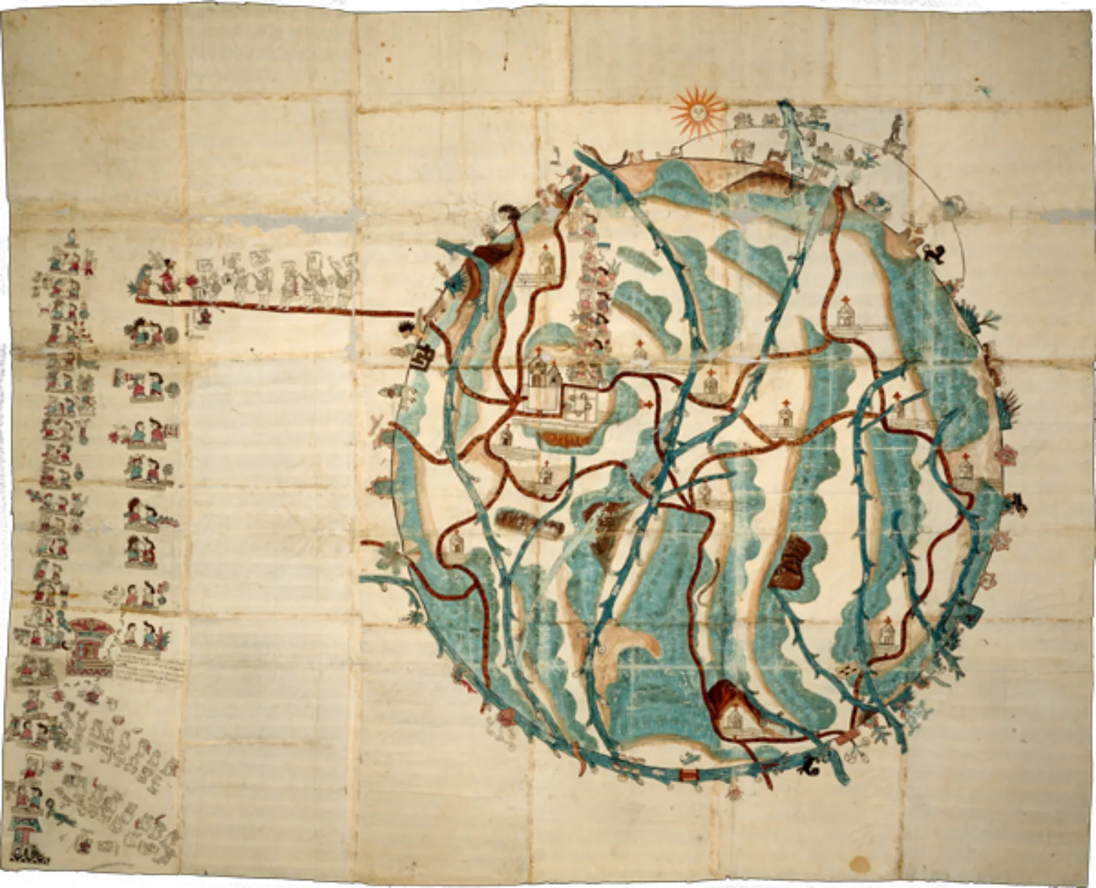
What visions for the future emerged in the aftermath of the devastating epidemics of the sixteenth century? In this virtual seminar, attendees will explore this question by discussing two colonial maps from Mexico, one Indigenous and one Spanish, that present competing answers.
The Mixtec map of Teozacualco was painted in the wake of a catastrophic outbreak in 1576 that drove the population of Mexico toward its nadir. A walking map of the archdiocese of Mexico, from the mid-colonial period, presents a Spanish missionary vision for ordering sacred space after vast population loss. In this seminar, participants will think through the stories behind the creation and intended use of these maps, and consider what they might have to teach us as we envision a future beyond the current pandemic.
Learn more about the instructor, Jennifer Scheper Hughes.
This virtual seminar is a part of the Processing the Pandemic series, which aims to use the experience of the medieval, early modern, and Indigenous past to guide our own response to the COVID-19 pandemic. This series is co-organized and co-sponsored by the D’Arcy McNickle Center for American Indian and Indigenous Studies at the Newberry Library, the Centre for the Study of the Renaissance at the University of Warwick, and the Center for Renaissance Studies at the Newberry Library.
Registration Information
Registration for this event has closed.
