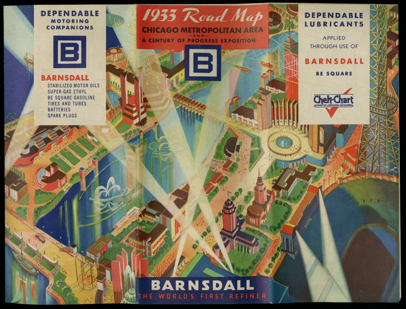
There’s perhaps no better place for studying how the automobile revolutionized American mobility than the Newberry. The library’s collection of road maps and travel ephemera total 250,000 individual items, one of the largest troves of such material in the world. (Travel ephemera are the tickets, receipts, glossy brochures, and other disposable things tourists save as mementos from their journeys. Today, they offer a window into how places have been marketed and remembered over time.)
The archives of Rand McNally (whose company archives the Newberry has), H.M. Gousha, and General Drafting, the three biggest road map publishers of the 20th century, make up the foundation of the Newberry’s automobile collection. Over the past 30 years, map catalogers have individually cataloged and analyzed 20,000 road maps and travel brochures, providing item-level access to a tremendous amount of material. But at that rate, it would take the Newberry another 345 years to catalog the collection’s remaining 230,000 items!

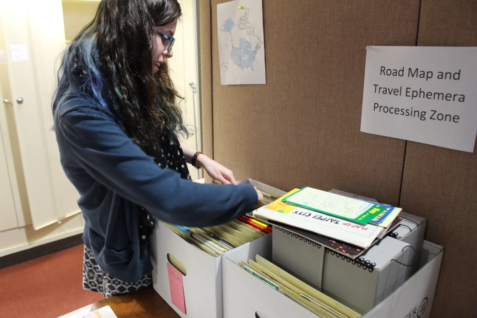
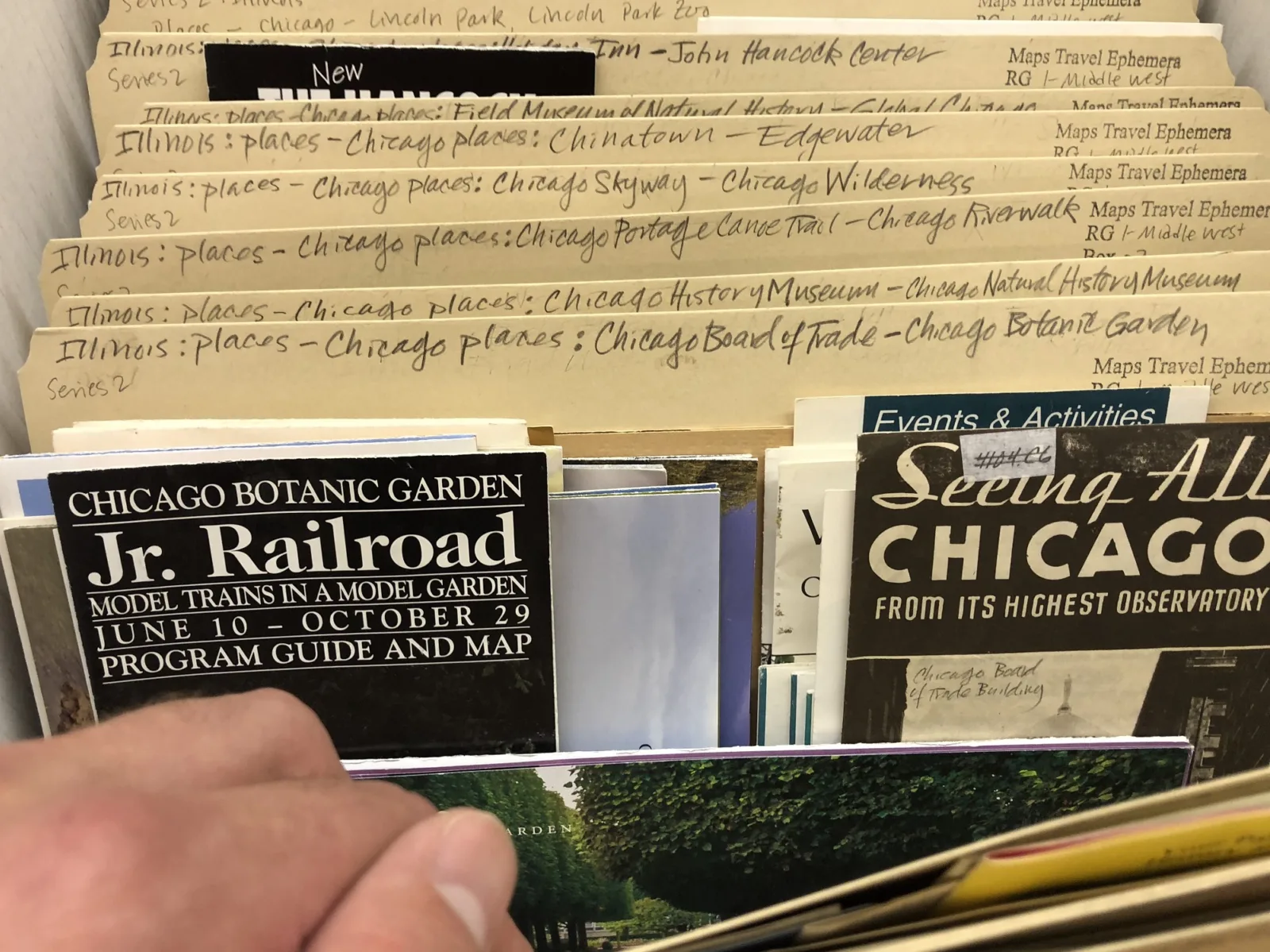
This past fall, Newberry curators and archivists piloted a new approach to organizing the corpus and making it available to readers. Supported by a grant from the Gladys Krieble Delmas Foundation, library staff are applying archival methods to an unprocessed swathe of the collection, grouping similar types of items into folders according to region, state, county, or place rather than giving each piece of ephemera its own catalog record.
The project was launched in the hopes that the archival approach, if successfully implemented for a small sample size, might scale up to encompass the entire road map and travel ephemera collection.
Based on the early results, it appears that this model can scale quite nicely—and, indeed, already has. The original goal for the six-month project was to process 44 linear feet of travel ephemera from Illinois and other midwestern states. Processing Assistant Emily Richardson did this in just two months. She’s since gone on to organize thousands of other items from the rest of the United States, North America, and a variety of other countries.

In addition to being a more efficient use of staff time, the archival methodology is a boon to researchers, not only because it makes an enormous amount of material available more quickly than ever but because it produces a system of access reflecting how users naturally engage with the subject. Instead of searching for the various road maps and travel ephemera bit by bit in the Newberry’s catalog—a painstaking process in which countless items would inevitably go undiscovered—researchers may call up geo-specific folders, making connections among things they hadn’t been aware of, much less thought to look for individually.

Once the maps and brochures touting the same place have been sorted and packaged together in the Newberry’s archives, one can easily isolate a particular variable—a tourist attraction, for example—and analyze how that attraction appeared in an array of promotional pieces over time.
The library’s road maps and travel ephemera allow researchers to get under the hood and inspect the different social, cultural, and economic forces surrounding the automobile in American life. And the collection is now becoming more and more navigable.
View the inventory of the processed section of the Newberry’s road maps and travel ephemera.
About the Author
Alex Teller is Director of Communication Services and Editorial Services at the Newberry.